


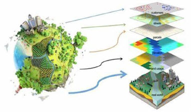
GIS for Environmental analysis
Program Code : T250
What Will I Learn?
- • How to use common geospatial analysis tools built into ArcGIS.
- • How to use environment variables to constrain your analyses and get better quality data products.
- • How to visually display your data by classifying it in logical groupings and then symbolizing it on your map.
- How to analyze raster and vector.
Material Includes
- Certificate on Completion.
Requirements
- Have email account.
Audience
- Engineers and Who is responsible.